How to Evaluate Coeur d'Alene Lake Waterfront Lots
Michaela Corcoran-Hall January 22, 2026
Michaela Corcoran-Hall January 22, 2026
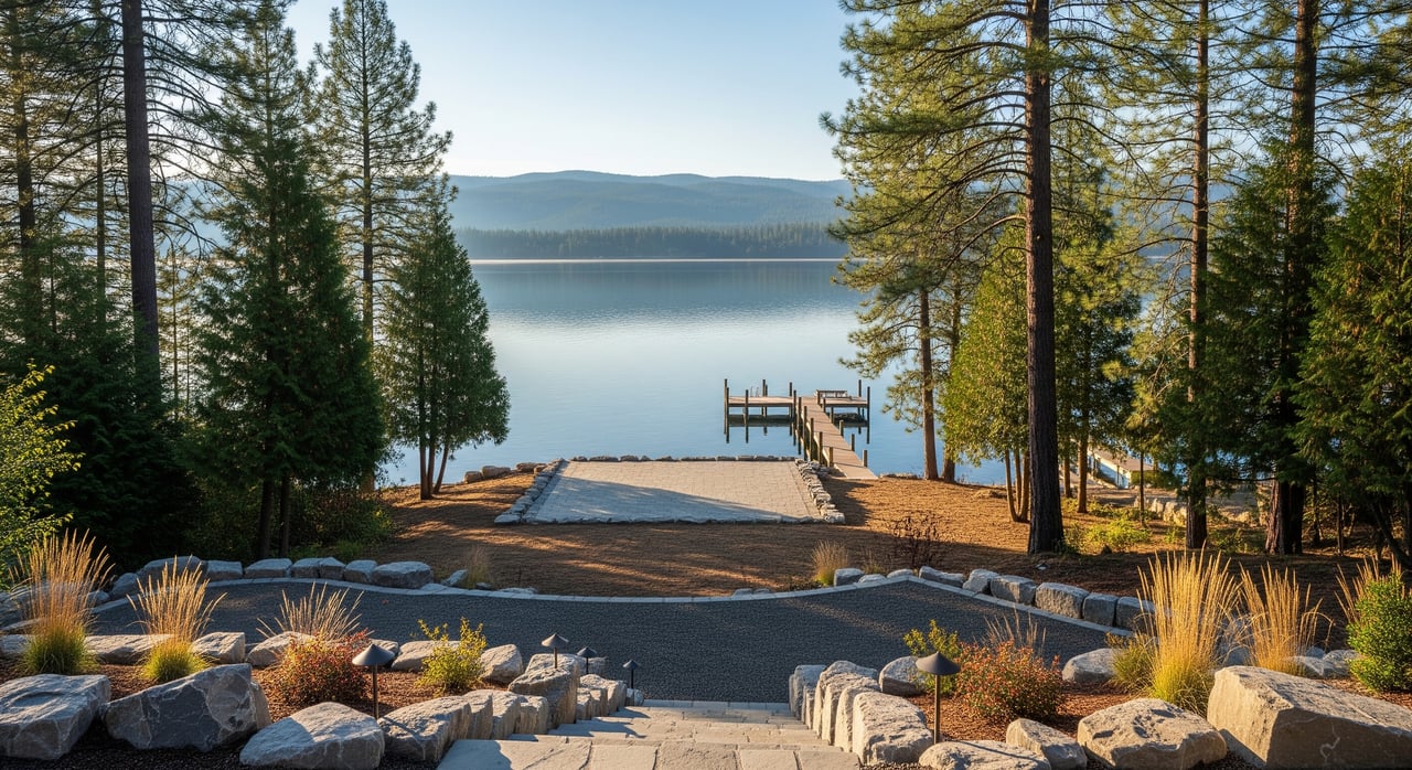
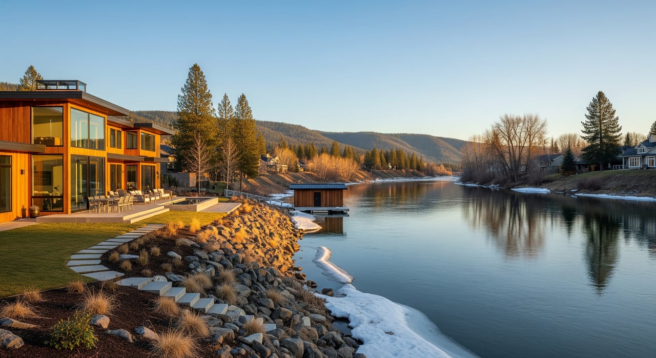
Standing on the shoreline of Coeur d’Alene Lake, it is easy to picture the home you want to build. The view is stunning, the water is close, and the dream feels within reach. Still, waterfront lots come with unique variables that can affect cost, timeline, design, and even your ability to add a dock. If you know what to check and who to call, you can make a confident decision.
This guide walks you through how to evaluate a lakefront lot in 83814. You will learn what to verify about ownership and riparian rights, how slope and soils can change your build plan, what to confirm for access and utilities, and which permits and specialists you may need. Let’s dive in.
Waterfront ownership can look simple on a map, but details matter. Start by confirming how the deed describes your waterfront. Some deeds include rights to the waterline or ordinary high-water mark, while others stop at a bulkhead or private boundary. Review the legal description through the county recorder and your preliminary title report. If you plan to add a dock or other structure, these details are essential.
You should also verify whether the shoreline or submerged lands in front of the lot are privately held or managed by the state. If submerged lands are state-owned or otherwise regulated, a private dock may require a lease or permit and ongoing fees. Knowing who controls the lakebed and how the ordinary high-water mark is located on your parcel helps you avoid surprises.
To move fast, ask your title company to pull recorded easements and restrictions, then engage a licensed surveyor to verify boundaries and, if needed, the ordinary high-water mark on-site. That pairing gives you a clear picture of what you own and what you can build over the water.
Next, walk the site with a critical eye on the grade from the potential homesite to the lake. Slopes increase structural and erosion-control costs and may trigger special engineering and permits. If you notice a bluff, escarpment, or sustained steep grade, plan for a geotechnical review. Local definitions of “steep” vary, and planners often use ranges like 15 to 30 percent to flag added requirements, so confirm the exact thresholds with Kootenai County or the City of Coeur d’Alene.
Soils and rock also matter. Shallow bedrock or dense glacial till can affect excavation and foundation type. Look for signs of past slides, erosion, riprap, or seawalls on your lot and adjoining shorelines. Observe how stormwater moves during rain. Concentrated runoff toward the lake can influence your site plan and drainage design.
Use county GIS and topographic mapping to review contours. Check FEMA flood hazard maps to understand floodplain status and if an elevation certificate might be required. If available, historical aerials and LiDAR can help you see shoreline changes over time, which supports smart dock placement and erosion control.
The best waterfront is not helpful if you cannot reach it in winter. Confirm whether access is via a public road or a private driveway. If it is a private road, request the recorded maintenance agreement and verify who pays for snow removal and repairs. Narrow or steep driveways can be costly to improve and may not meet standards for construction vehicles or emergency access.
Legal vehicular access must be recorded. Ask your title company to verify ingress and egress easements and whether they allow full use or are limited. Note any utility rights-of-way that cross the property. If you expect to trench for new lines, those corridors matter.
If you plan to arrive by water, confirm the location and legal rights to use a community dock, launch ramp, or moorage area. Unrecorded “handshake” access is a red flag. Get the details in writing and recorded before you commit.
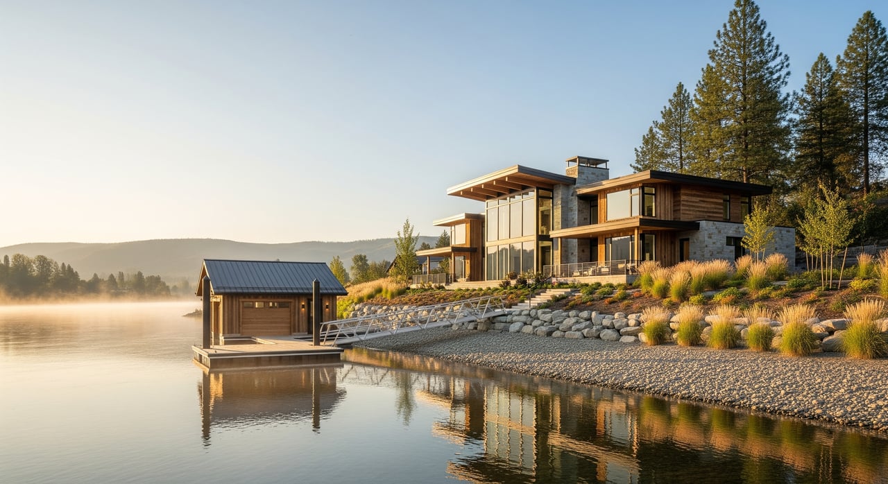
Water service varies by location in 83814. Some parcels may be within City of Coeur d’Alene service boundaries. Others may require a private well. If a well is needed, review well logs through the state and plan for yield and water quality testing, including iron, manganese, nitrates, coliform, and any locally relevant minerals.
Sewer is another critical check. Many lakefront lots use on-site septic systems rather than municipal sewer. A licensed designer or sanitarian will evaluate soils and setbacks to size an appropriate system. Expect a percolation or full site evaluation as part of due diligence. If sewer is available, verify main capacity and connection requirements early.
For power, verify the distance to distribution lines and whether a transformer is needed on your lot. Long extensions add cost. Natural gas is often limited on remote shorelines, so many new homes use propane or electric systems. Broadband can vary by cove. Confirm available speeds and options with local providers and cross-check coverage if needed. Some lots rely on fixed wireless or satellite when fiber is not present.
Before you write an offer, make a round of calls to utility providers. Ask about capacity, extension timelines, and any required road or driveway cuts. If septic is likely, schedule a feasibility evaluation. Getting these answers early protects your budget and your schedule.
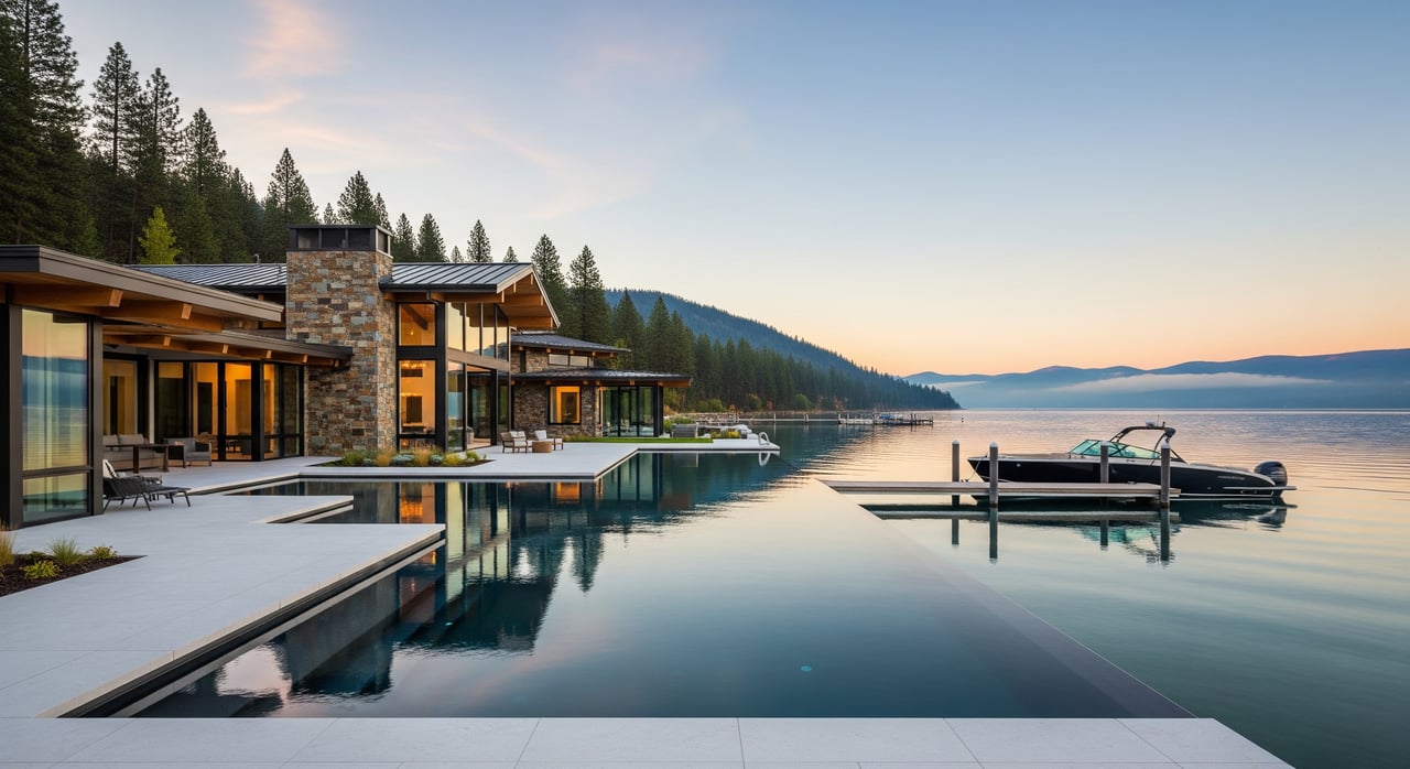
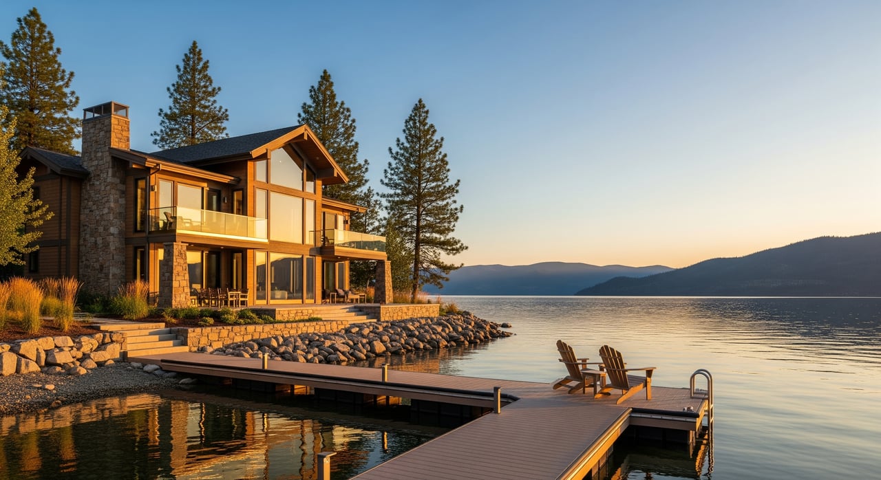
Your view depends on more than distance to the water. Vegetation height, density, and species along the shoreline shape what you see. Removing riparian trees and shrubs may be regulated, and those plants often stabilize the bank. Mature trees can screen neighbors and soften noise, but they may also trim your view. Plan with respect for both function and rules.
Neighboring homes and building envelopes also affect view potential. Review recorded covenants and any subdivision documents to see if height or placement restrictions exist. Take note of how neighboring structures sit on the land and whether future remodels could change your outlook.
There is no universal right to a view unless it is recorded. If a protected view is important to your use or investment, consider negotiating a recorded view easement or landscape limits as part of the purchase. To ground your decisions, take photos and video from your proposed homesite at different times of day and in different seasons. Seasonal boat traffic and leaf cover can change what you experience.
Lakefront projects usually involve multiple agencies. Expect to coordinate with Kootenai County Planning and Building or the City of Coeur d’Alene Planning on zoning, setbacks, and building permits. Septic approvals and water quality standards come through local health departments and state environmental authorities. The Idaho Department of Water Resources handles wells and certain water-rights questions.
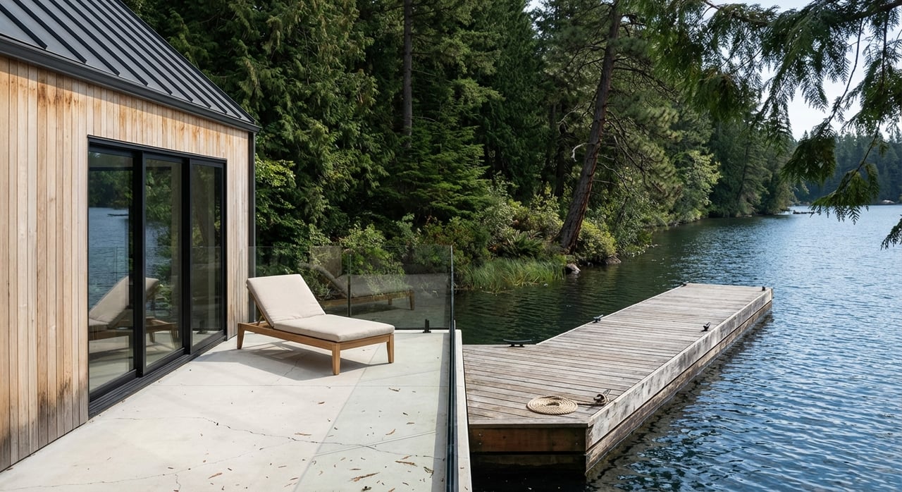
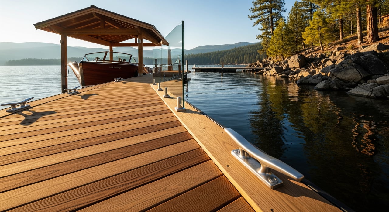
If your plans include a dock, piling, or any work in the lake, you may need approvals from the U.S. Army Corps of Engineers and the state agency that manages submerged lands. Many dock or shoreline structures require permits and sometimes leases. If your lot sits within a FEMA flood zone, you may need an elevation certificate and to follow flood-resistant construction standards.
Environmental constraints can also shape your design. Wetlands or jurisdictional waters may require mitigation. Sensitive species may trigger seasonal work windows. Stormwater rules often limit impervious surfaces and require on-site treatment. In some cases, historical or cultural resource overlays can affect timing. Ask early and plan accordingly.
Lake levels can vary seasonally and over longer time frames. Changes in water level and downstream dam operations can influence dock design, shoreline erosion, and usable beach area. Understanding those patterns helps you choose the right dock system and bank protection.
Use a structured checklist to protect your decision and keep the process moving:
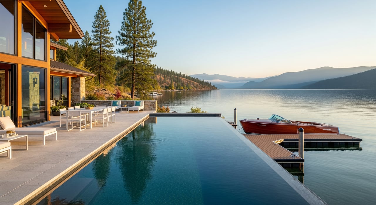
Waterfront development typically costs more than non-waterfront. Site prep, retaining walls, specialized foundations, septic systems, and dock permitting add line items. Permit timelines can also be longer when multiple agencies or shoreline buffers are involved. Start with conservative budgets and flexible schedules, then refine as you gather approvals.
Insurance and resale deserve early attention. Lots in certain flood designations may need elevation certificates and can carry higher premiums. If you plan to use the property as an income asset, confirm any short-term rental limits in local code and recorded community rules before you buy. Enforcement and compliance vary by area, so rely on current guidance from planning staff and your attorney.
Finally, think beyond closing. Shoreline armoring and private docks need periodic maintenance. In some communities, neighbors share maintenance duties. Ask for any recorded obligations and cost-sharing agreements so you can plan for long-term stewardship of the shoreline.
You do not need to navigate this alone. Our team pairs concierge service with deep local knowledge of Coeur d’Alene Lake and Kootenai County. We coordinate surveyors, geotechnical engineers, septic designers, marine contractors, and permitting specialists so you can focus on design and decisions rather than paperwork and calls.
Whether you are building a legacy home or acquiring an investment property, we help you verify rights, confirm feasibility, and secure the path to approvals with fewer surprises. If you are considering a specific lot, connect for a private, practical consult tailored to your goals. Request a conversation with Michaela Corcoran-Hall to get started.
Stay up to date on the latest real estate trends.

Work with them for high-touch real estate service in North Idaho. Their local market mastery, proven results, and client-first approach deliver seamless, strategic transactions.